News
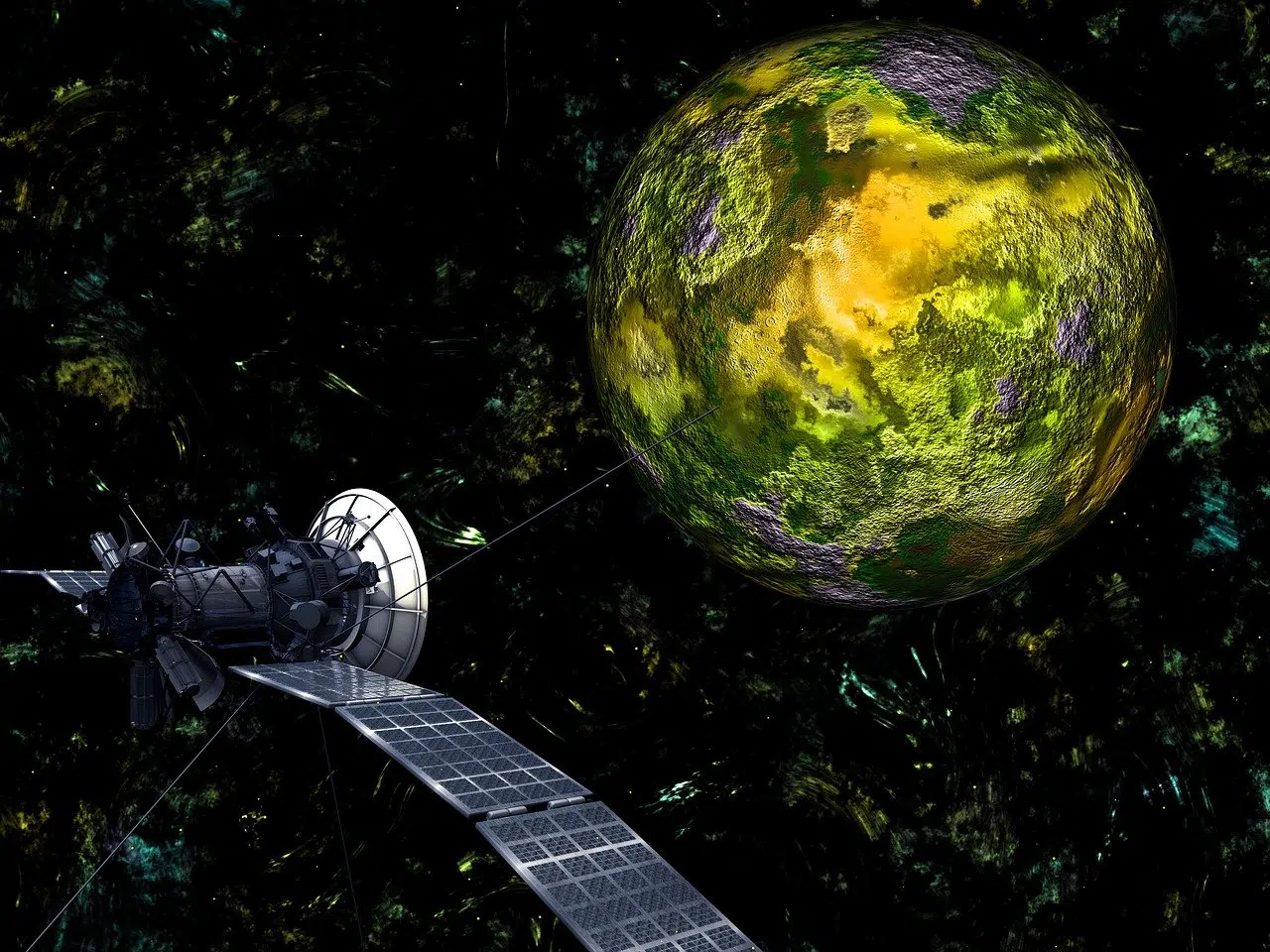
Here on the blog we have already talked several times about what satellites are and their uses in the various sectors we work with. Some take photos of the planet that help meteorologists predict the weather and track hurricanes, others take photos of other planets, the sun, black holes, dark matter, or distant galaxies so that scientists can better understand the solar system and the universe. Have you ever imagined that our planet is surrounded by artificial satellites? There are more than a thousand orbiting at this very moment, in addition to a huge, fully functioning Space Station. But, if you don't understand much about this and want to know more about the topic, this article is for you. READ ALSO: • Computer Vision: The Complete Guide to clearing your doubts!
• Transmission line inspection: how does it work?
Speak with one of our specialists and discover how Pix Force can transform your business
What are artificial satellites?
A satellite is an object in space that orbits or circles a larger object; however, there are two types of satellites: natural ones, which, as the name suggests, come from nature (like the Earth orbiting the sun or like the moon orbiting the Earth), or artificial ones, which are man-made (like the International Space Station orbiting the Earth). Here, we will talk about artificial satellites. The idea of an artificial satellite in orbital flight was suggested by Isaac Newton in his 1687 book “Philosophiae Naturalis Principia Mathematica”. He pointed out that a cannonball fired from the top of a mountain, at a sufficient speed and in a direction parallel to the horizon, would travel around the Earth before falling. Although the object would tend to fall toward the Earth's surface because of gravitational force, its momentum would cause it to descend along a curved path. A higher speed would put it into a stable orbit, like that of the Moon, or carry it away from the Earth completely. [caption id=”attachment_2385” align=”aligncenter” width=”640”] Image: What are artificial satellites and how do they work
Sputnik 1 [/caption] On October 4, 1957, almost three centuries after Newton proposed his theory, the Soviet Union launched the first Earth satellite: Sputnik 1 (“traveler” in Russian). This satellite circled the Earth every 96 minutes, and its simple radio signal was heard by scientists and radio operators all over the world. It orbited the Earth for only 90 days and traveled about 70 million kilometers before falling; a short time, but the seed for the future was planted. [caption id=”attachment_2388” align=”aligncenter” width=”640”] Explorer 1 [/caption] Three months later, on January 31, 1958, the United States orbited its first satellite: Explorer 1. Although much smaller than Sputnik, Explorer was equipped to detect radiation and discovered the innermost of the two Van Allen radiation belts, a zone of electrically charged solar particles that surrounds the Earth.
How does it work?
To reach orbit, the satellite is launched by means of a rocket, and its stay in space can be temporary or permanent. An important thing to be considered is the launch site: the closer to the Equator, the easier and less costly the launch is, because the Earth's rotation speed is greater at this point, which requires less fuel to reach the necessary speed. Reaching the desired altitude, the satellite is released. The size, design, and other characteristics of a satellite depend on its purpose, but most have at least two parts in common: an antenna and a power source. The antenna is used to send and receive information, and the power source can be a battery or a solar panel, which produces power by transforming sunlight into electricity. A satellite orbits the Earth when its speed is balanced by the pull of Earth's gravity, and without this balance, the satellite would fly in a straight line into space or fall back to Earth. Satellites orbit the Earth at different heights, different speeds, and different paths. The two most common types of orbit are geostationary and polar. A geostationary satellite moves in the same direction and at the same speed as the Earth is rotating. Because of this, when viewed from Earth, a geostationary satellite appears to be standing still. On the other hand, polar orbit satellites travel from pole to pole, from north to south. After having already fulfilled their "mission," satellites that are retired can be programmed to return to Earth and are then destroyed upon entering Earth's orbit, or they can wander through space in the graveyard orbit, intended especially for space "debris," where they will have no possibility of colliding with other operating satellites, aircraft, or space stations. There are about half a million man-made objects in Earth's orbit today, ranging in size from paint flecks to complete satellites – each traveling at speeds of thousands of miles per hour. Only a fraction of these satellites are usable, meaning there is a lot of "space junk" floating through space.
Different types of satellites
There are satellites of various shapes, sizes, and purposes. Weather satellites help meteorologists predict the weather or see what is happening at the moment. The Geostationary Operational Environmental Satellite is a good example. These satellites usually contain cameras that take pictures of Earth's weather, either from fixed geostationary positions or polar orbits. Communication satellites represent more than half of those orbiting the Earth. They distribute telephone, internet, and TV signals across various orbits, especially geostationary ones. There are also Earth observation satellites, which monitor the planet for changes (temperature, forests, ice sheet cover, etc.), and it is through this type of satellite that Pix Force obtains images to perform its analyses and processing. Among other types of satellites are scientific ones, such as the Hubble Space Telescope, navigation satellites (GPS), and military ones.
Curious facts about satellites
• The types of satellites growing fastest in quantity are those for telephony, GPS, and internet navigation;
• Communication satellites are mainly located in geostationary orbit, at an altitude of about 36 thousand kilometers, while satellites that photograph the planet's surface are between 100 and 200 kilometers above the surface;
• The altitude of a geostationary satellite is about 35,860 km and its speed is about 11,000 km/h.
Want to know more about artificial intelligence, computer vision, and image analysis? Pix Force wants to help you! Get to know our work! Oh, I was almost forgetting. If you want to know more about what artificial satellites are, watch the video below: https://www.youtube.com/watch?v=xtbnUlOi_ag

Fabio Caraça
Fábio Caraça is the Chief Growth Officer at Pix Force. He leads Pix Force's transformation into a scalable SaaS operation, combining strategic vision, culture, and high-impact execution.