News
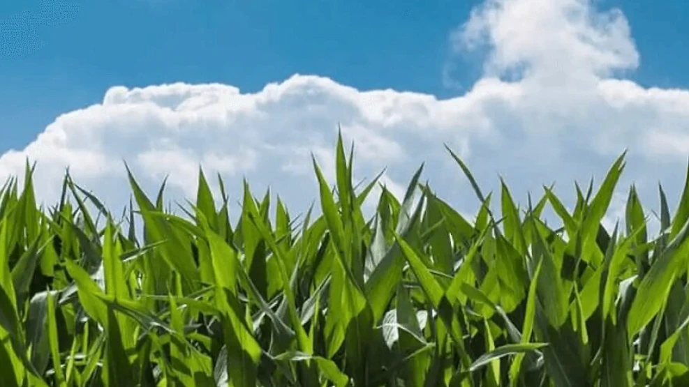
Satellites in agriculture are revolutionizing the sector. Agriculture and agribusiness are responsible for a large part of the country's economy and, last year, accounted for about 23% of the GDP. Brazil still conducts agricultural estimates through subjective methods based on censuses or sampling, which is much more costly and time-consuming, in addition to making truly accurate and efficient analyses unfeasible.
One of the problems that could be mitigated is food waste: 41,000 tons go to waste daily in Brazil alone, which generates an economic loss of about R$3 trillion per year.
The challenges of food production are great, but they can be alleviated by innovations and technologies that foster better field management. Allowing farmers to map, monitor, and better understand their land will help build more sustainable processes for agricultural production.
We have selected five examples of how satellites in agriculture assist this very important sector in the country's economy.
Speak with one of our specialists and discover how Pix Force can transform your business
Satellite imagery in agriculture helps growers
Satellite data will help farmers take immediate action on localized issues, such as irrigation and fertilization. This will enable the monitoring of numerous agricultural activities and serve to maximize efficiency and reduce costs. In addition, Sat-Nav (Satellite Navigation System) technology will allow easy navigation to points of interest. Satellite communications are also vital for agricultural work, including machine-to-machine communication in areas where terrestrial networks are not always reliable.
Satellites in agriculture and economy
In the field, there are specific areas that require more growth fertilizers than others. With the assistance of orbiting satellites, farmers will be able to use only the necessary amounts of fertilizers, which will help reduce costs and decrease the environmental impact of over-fertilization. This process can be taken further with the use of drones, which can be dispatched to quickly address any problem areas highlighted by the satellite.
Crop monitoring
The ability to monitor crops on a global scale will be vital for predicting future agricultural commodity market trends. This will present numerous financial opportunities, allowing investors to make informed business choices.
Images that help in decision-making
Through the use of machine learning and intelligent algorithms, the analysis of satellite data and information gathering offer insights into agricultural plots, plants, or regional conditions. These data help decision-makers in agricultural companies – growers, consultants, and national control authorities.
Monitoring through thematic maps
Satellite data regularly collects useful and updated information on various types of crops and coverage. This applies to the monitoring and detection of any anomalies, damage, or degradation through thematic maps. Earth observation satellite data, as well as unmanned aerial vehicles (UAVs), work together for the benefit of farmers, helping them to effectively and correctly use their land. The acquired information assists them in various activities: producing crop health maps used for advisory purposes, highlighting areas that need more or less fertilizer, and generally helping farmers use their land more efficiently. Satellite technology and we at Pix Force are prepared to revolutionize the agricultural sector. Economic growth is not the only favorable factor when it comes to the integration of satellite data. Companies looking to make use of space technology will also be one step ahead regarding positive social and environmental impacts.

Fabio Caraça
Fábio Caraça is the Chief Growth Officer at Pix Force. He leads Pix Force's transformation into a scalable SaaS operation, combining strategic vision, culture, and high-impact execution.