News
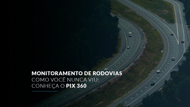
Roads and highways are an essential part of the life of a country's infrastructure, playing a key role in transportation. Therefore, their perfect functioning is vital for the safety and well-being of everyone. In this way, you will get to know Pix 360, which is part of an effort to improve highway monitoring. Highway maintenance is carried out through monitoring, using specialized teams and tools that are important for this process. Thus, by identifying points to be improved, flaws, and risks, it is possible to assess the quality of highways, facilitating the means capable of improving and correcting them. That is why we offer Pix 360 — synonymous with efficiency, effectiveness, precision, and cost savings. Its foundation is the automatic inspection of objects on highways and streets, used to determine their geographical position and quality status. ALSO READ: What is computer vision? Understand it now! Inventory count through technology.
Speak with one of our specialists and discover how Pix Force can transform your business
What is highway monitoring?
Basically, highway monitoring is the assessment of the state of conservation of everything that makes up a road, in order to offer safety for drivers. In general, roads need safety elements for better use by their users. That is, it is necessary to know if the roads are well signposted, if there are drainage systems, what the condition of the asphalt is, etc. Also, bridges, guardrails, and trees are also evaluated in the monitoring process. If they are in a poor state of conservation, the authorities are called upon to adapt the highway to acceptable conservation parameters. For this monitoring, companies are hired that offer solutions to identify potential problems on the roads. Therefore, you will read in this article about a technological solution that uses modern cameras that inspect quickly and very effectively.
What is Pix 360?
Pix 360 was created, among other things, to solve important issues in highway monitoring. The product stands out for being a vehicle equipped with sensors used to capture data and images for automatic inspection of objects on streets and highways. To improve the condition of pathways and roads, the use of images captured by a 360 camera is an important solution for highway monitoring. Created by Pix Force, the Pix 360 system has a principle similar to that of a sonar, which is widely used for identifying objects. However, instead of being guided by sound, it uses a laser, offering greater precision in data collection. Explaining it in a very simple way, after the laser is emitted, it hits a point and returns. Thus, the duration of time it takes provides the information the equipment needs to measure the distance. As a complement, this system is used on the vehicle itself that monitors the road, featuring a 360-degree camera – hence its name. Therefore, all of this is mapped along with an advanced GPS, the GNSS System, or Global Navigation Satellite System. Thus, by determining the coordinates, it is possible to locate the point of interest. A cloud of data is then formed, demonstrating what the analyzed scenario is like. These are objective and excellent data in quantity and quality, with high precision. This provides a wider range of solutions and information, according to the user's needs. The quality of Pix 360 is characterized not only by its precision in providing information, but by being essential for executing effective monitoring. Going beyond a single-use and specific product, Pix 360 is a powerful source of data. And because it is modular, it can be used in various scenarios, having the capability to investigate different types of information. In short, it provides a super-defined 360-degree image, with measurements and depth. With this, the vehicle can record, identify, and measure different types of images.
Highway monitoring using modern cameras
A concessionaire responsible for a highway must demonstrate various elements that prove the road's state of conservation. Among these segments, Pix 360 perfectly meets what is required for guardrail monitoring. The product performs the service 18 times faster than current methods. It is an absolute and significant increase, standing out for its efficiency, speed, and precision in its data. This monitoring is currently manual, extremely costly, and time-consuming. Pix 360 brings productivity and cost reduction, in addition to a much higher level of safety, making it the best solution in several aspects for this application. Simply, the car equipped with the camera can identify the position and condition of the guardrail in a matter of seconds. In addition, the Pix 360 system can identify other elements that can affect road conservation: • Fallen trees on the highway
• Locations where potholes exist
• Inspection of lanes and signs
• Identification of facades on urban roads
• Location of utility poles on public roads
For this and other reasons, Pix 360 can be used to monitor road quality, identifying areas that need maintenance. As its precision is greater than human observation, the technology provides greater efficiency in road monitoring. What did you think of Pix 360 for highway monitoring? If you have any questions, fill out the form and talk to us!

Fabio Caraça
Fábio Caraça is the Chief Growth Officer at Pix Force. He leads Pix Force's transformation into a scalable SaaS operation, combining strategic vision, culture, and high-impact execution.